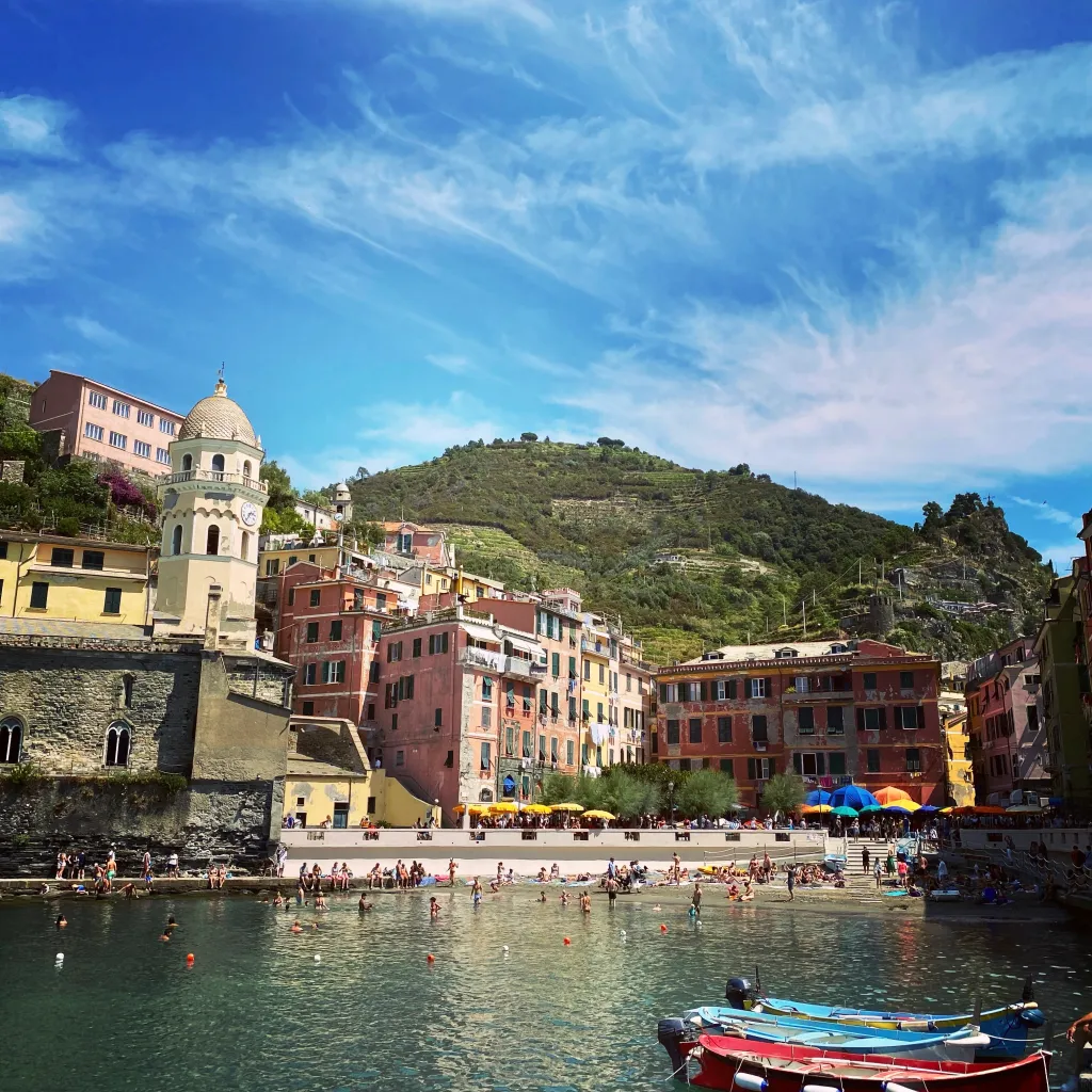
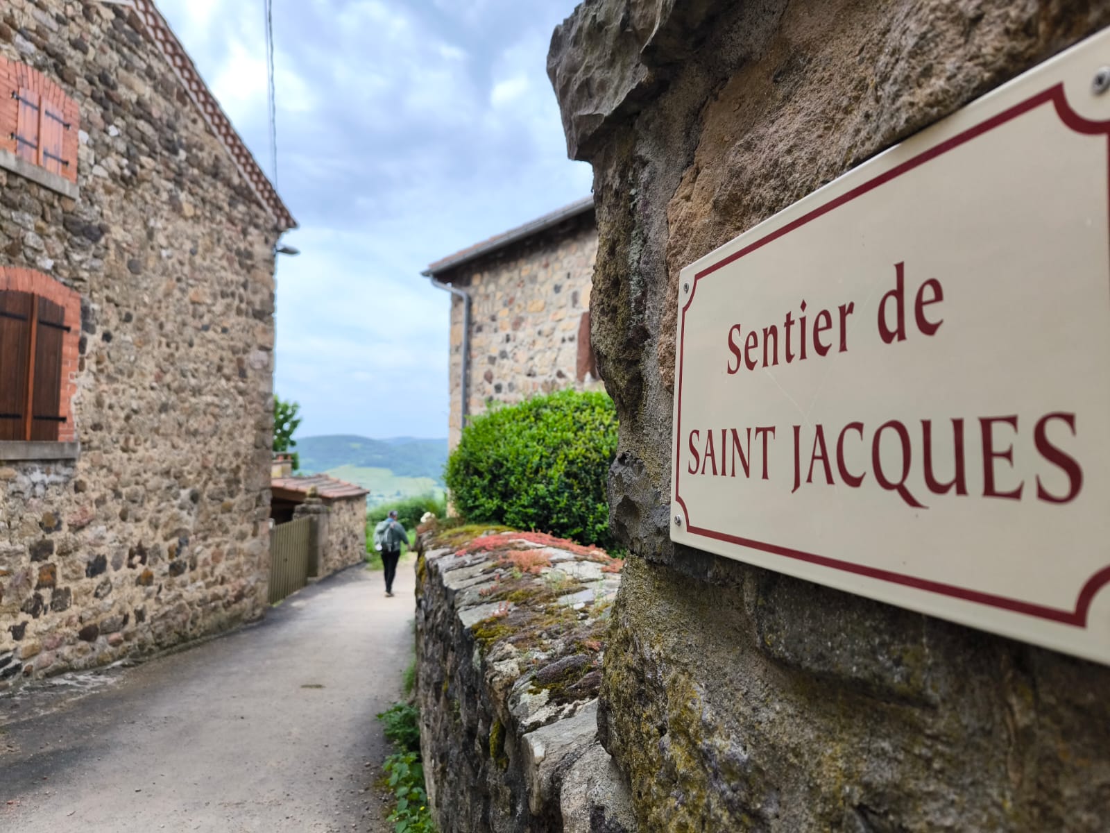
Overview
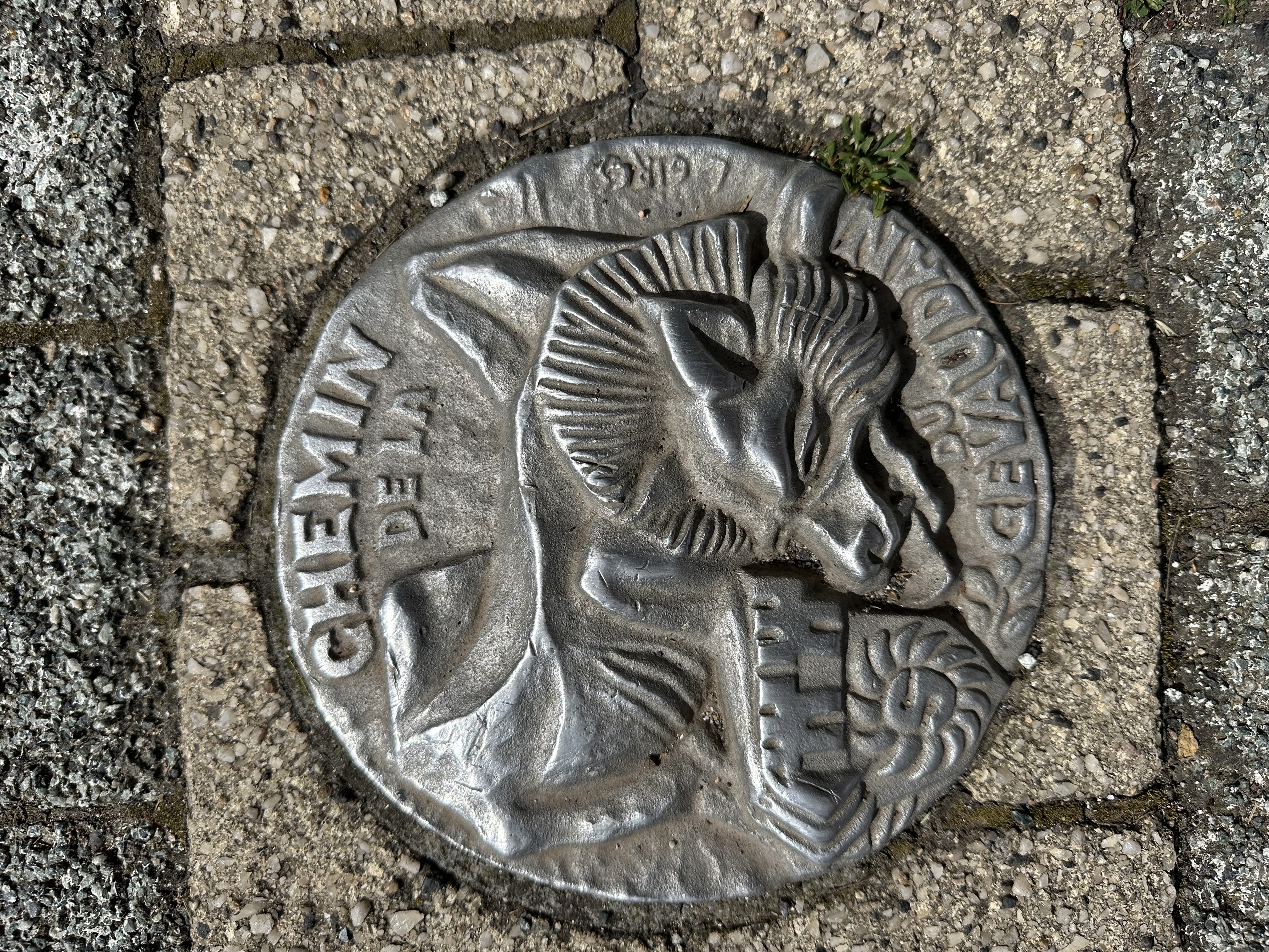
Step into one of Europe’s most storied pilgrimage routes with author and pilgrimage expert Beebe Bahrami, as we walk from Le Puy-en-Velay to Conques from April 30–May 10, 2026. This section of the Chemin du Puy—the Via Podiensis, one of the great French routes to Santiago—offers a dazzling blend of landscapes, history, and sacred tradition.
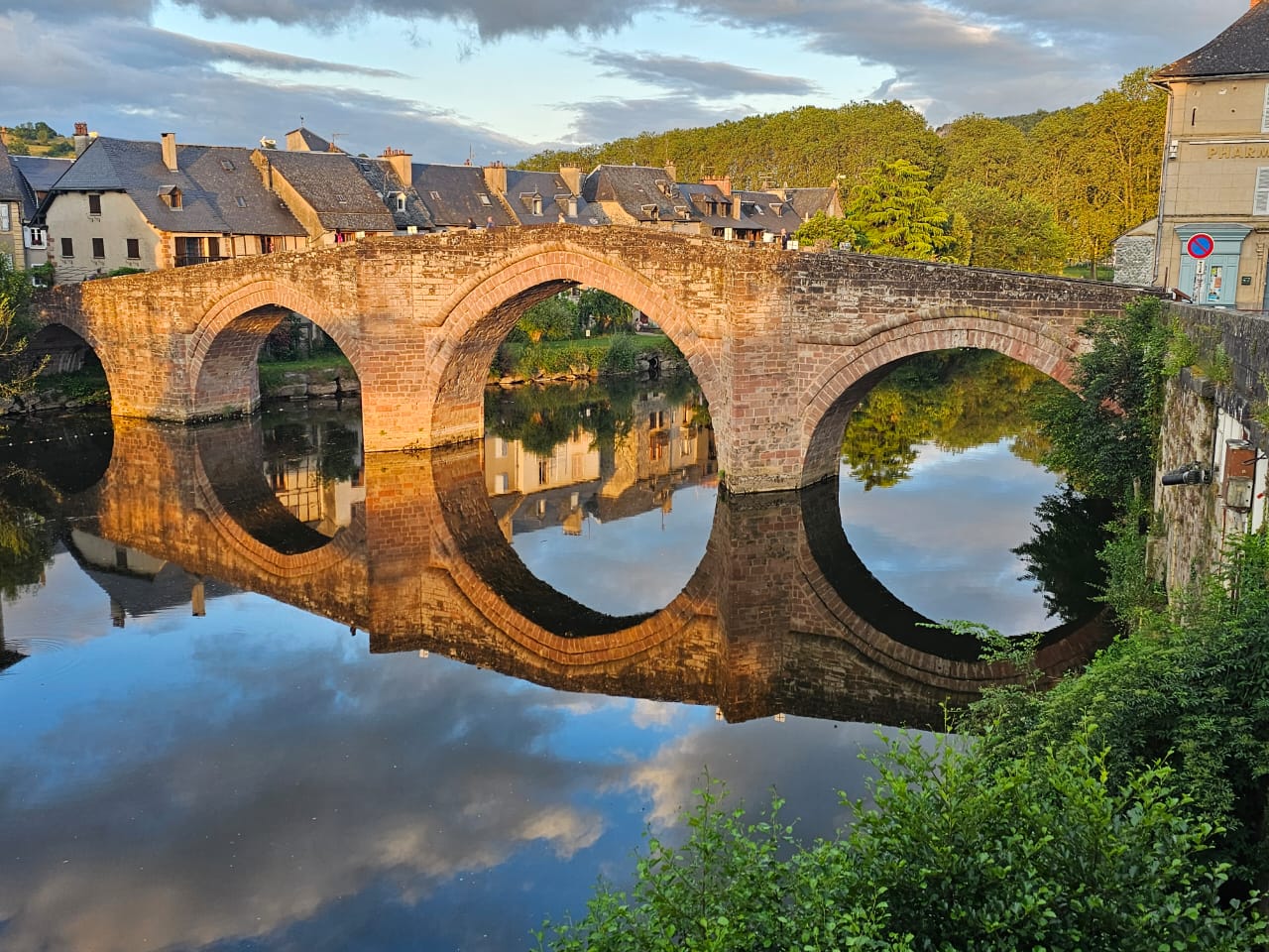
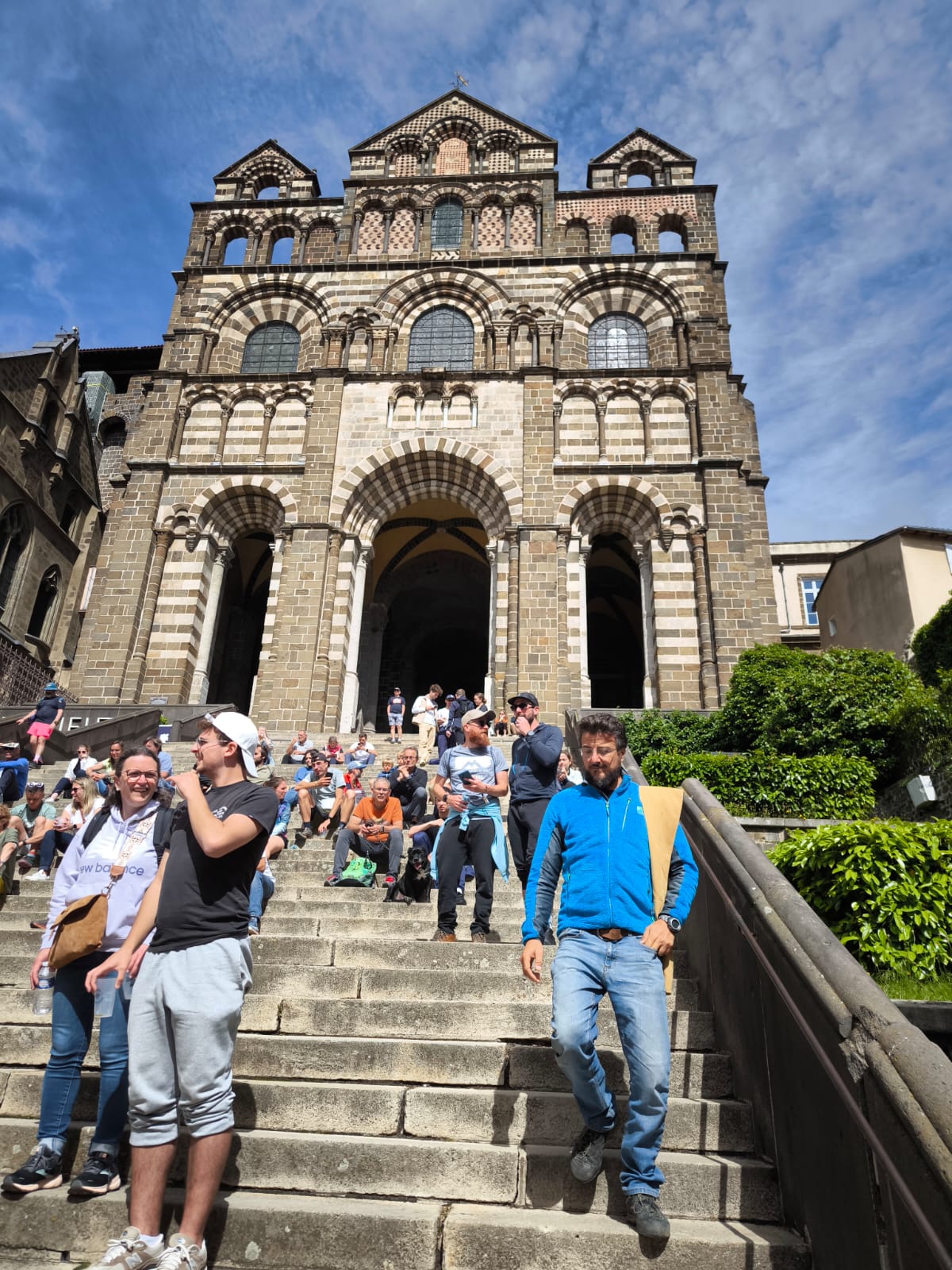
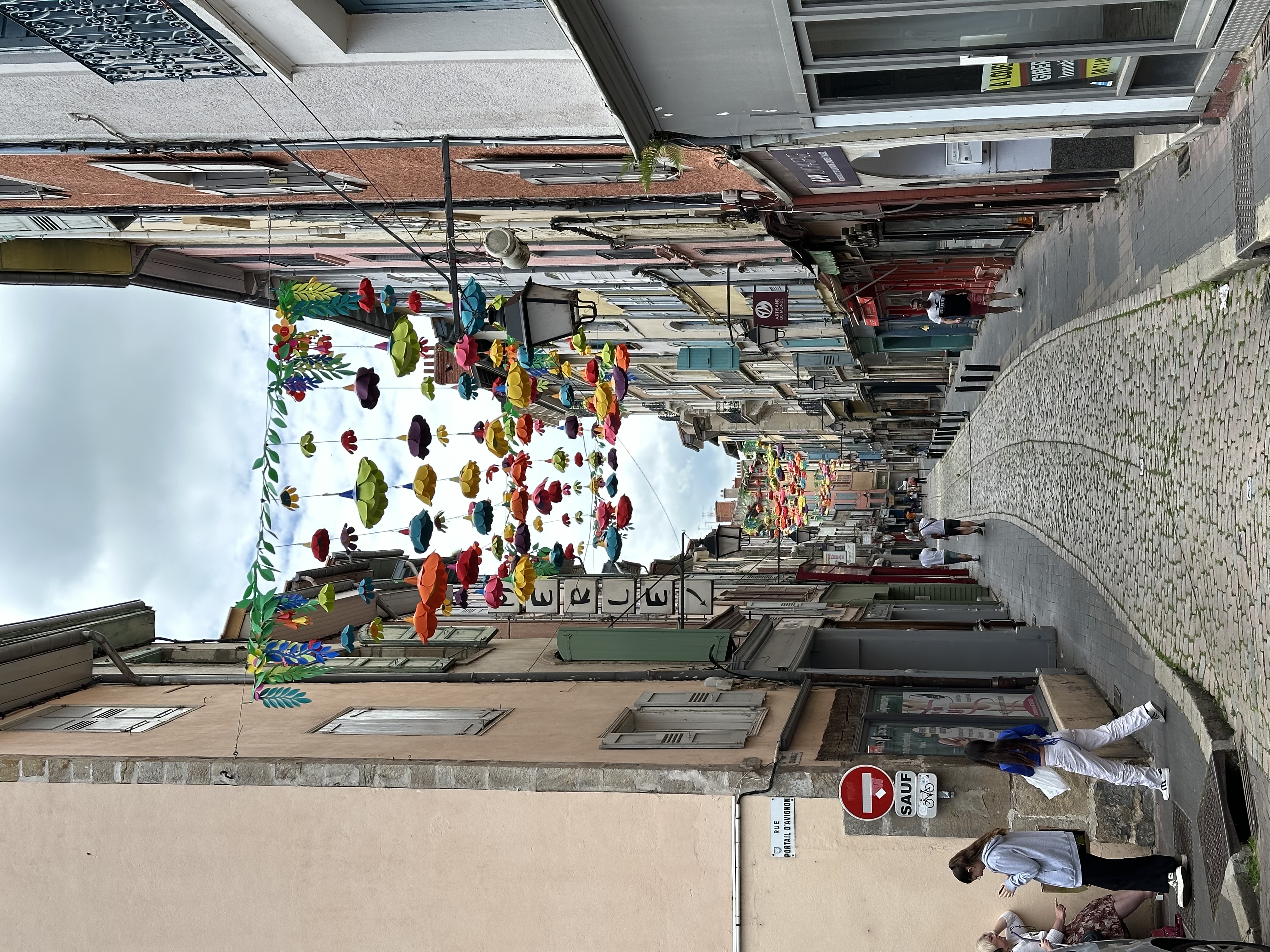
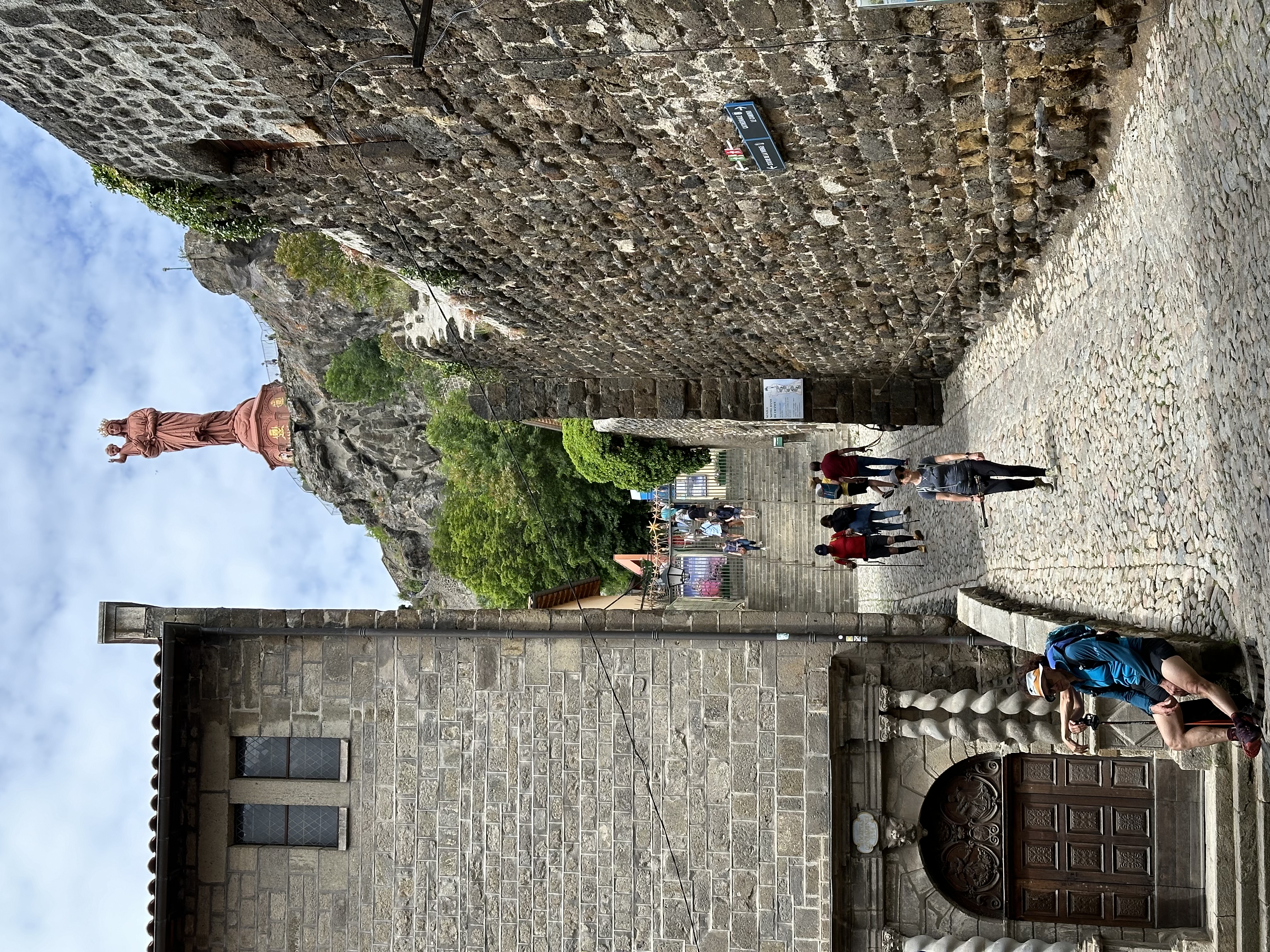
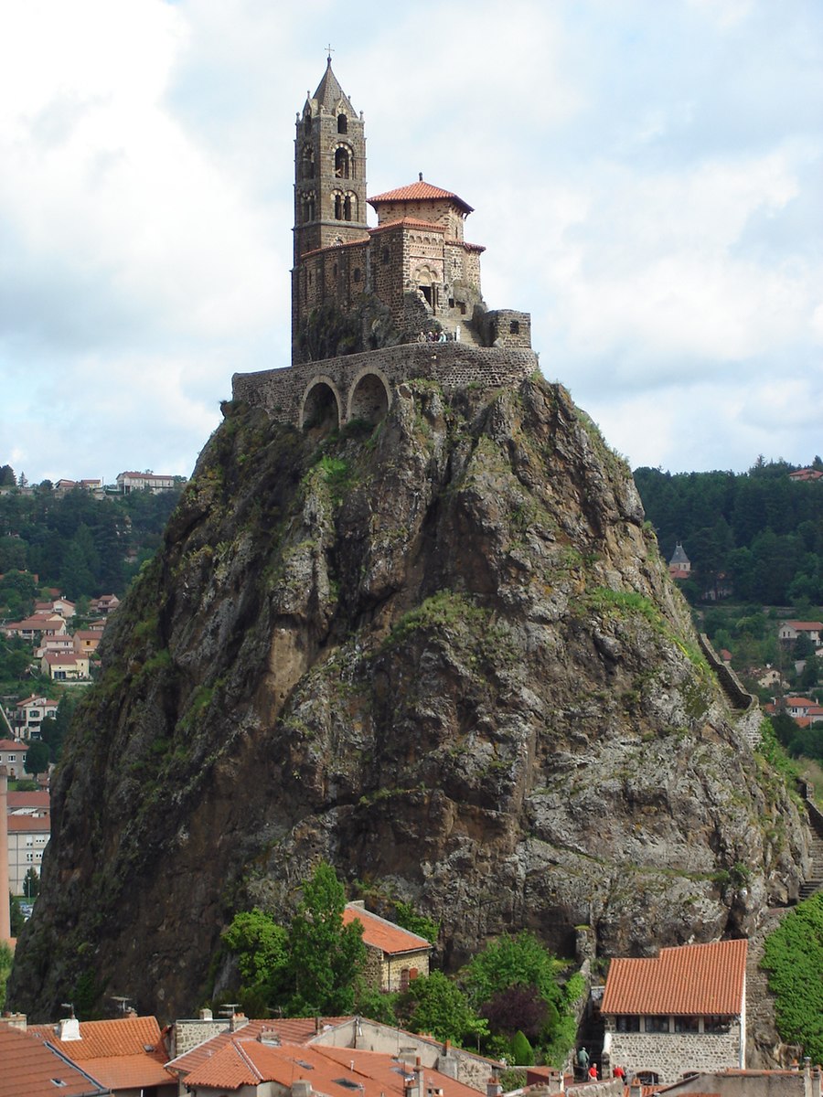
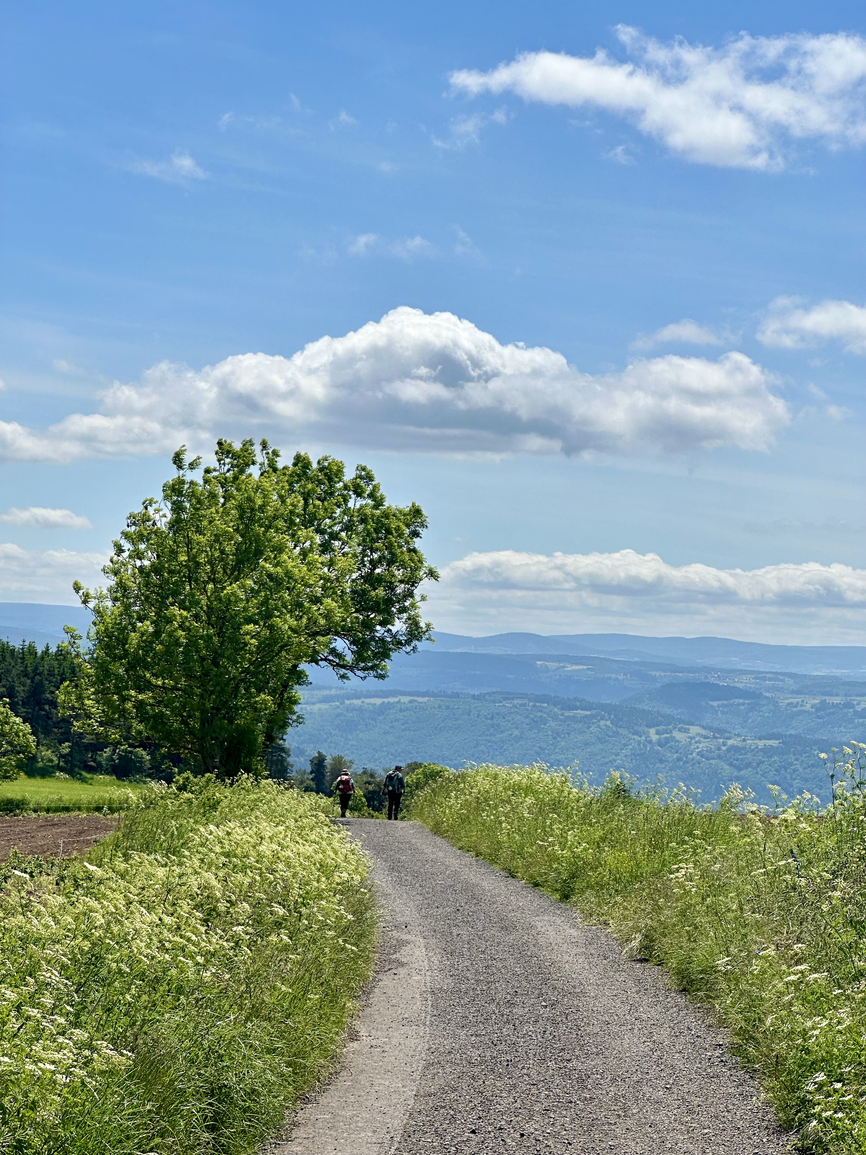
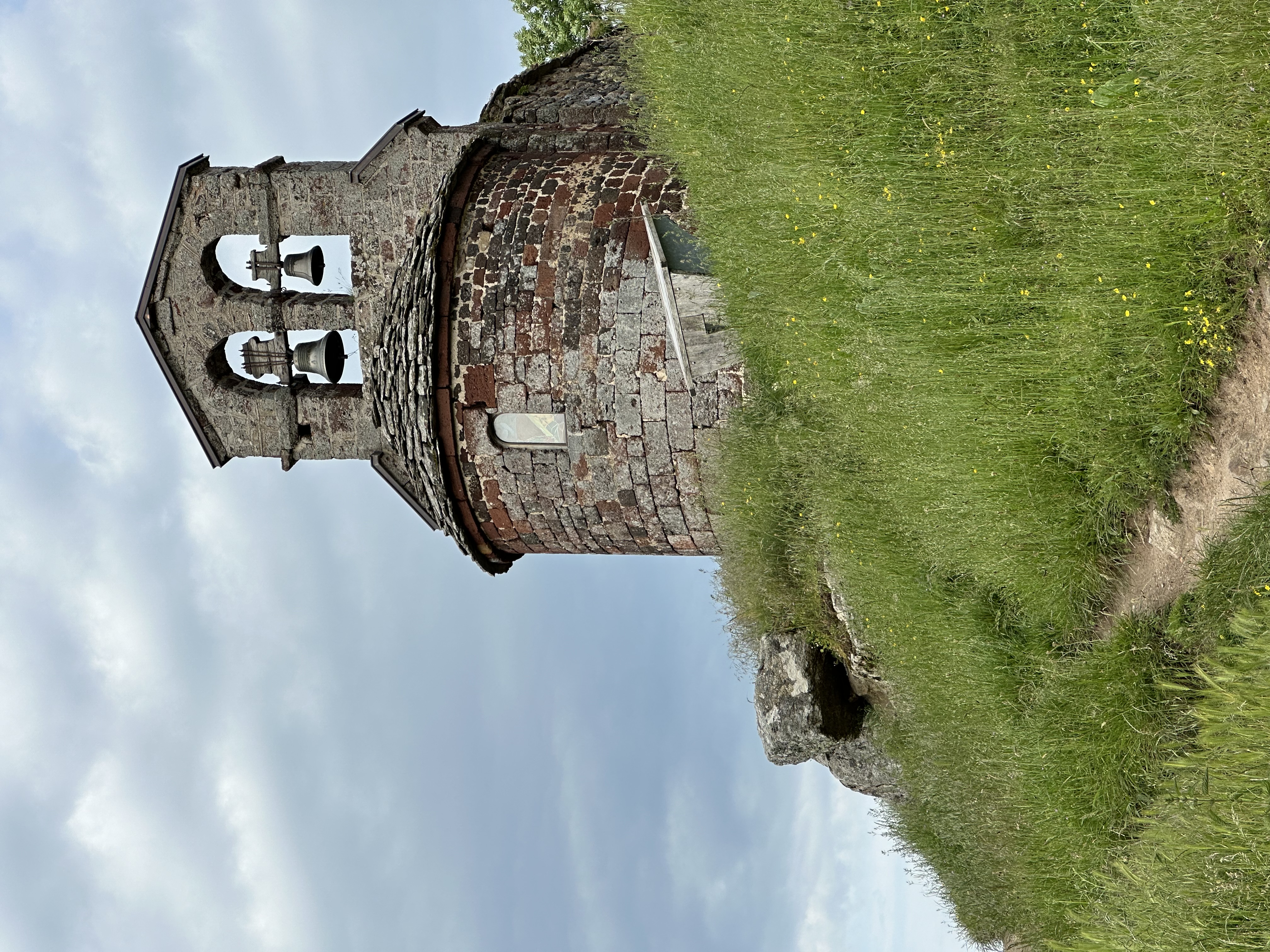
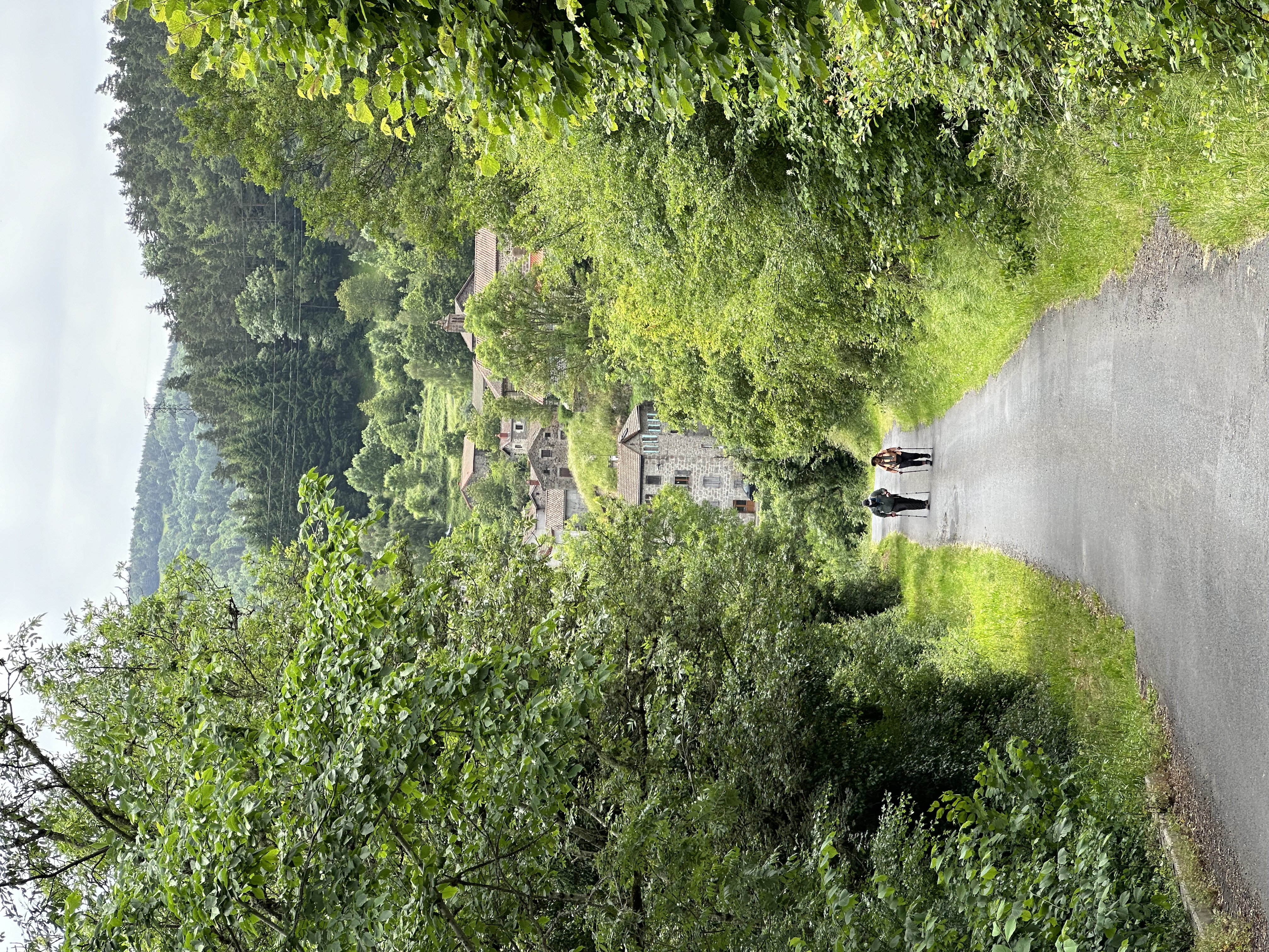
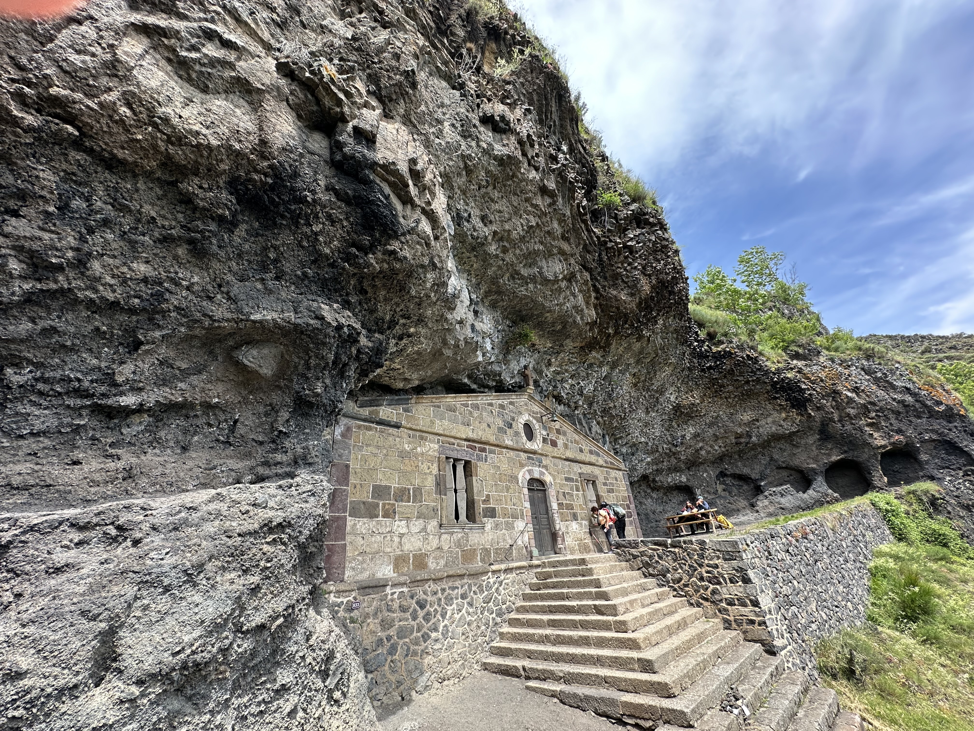
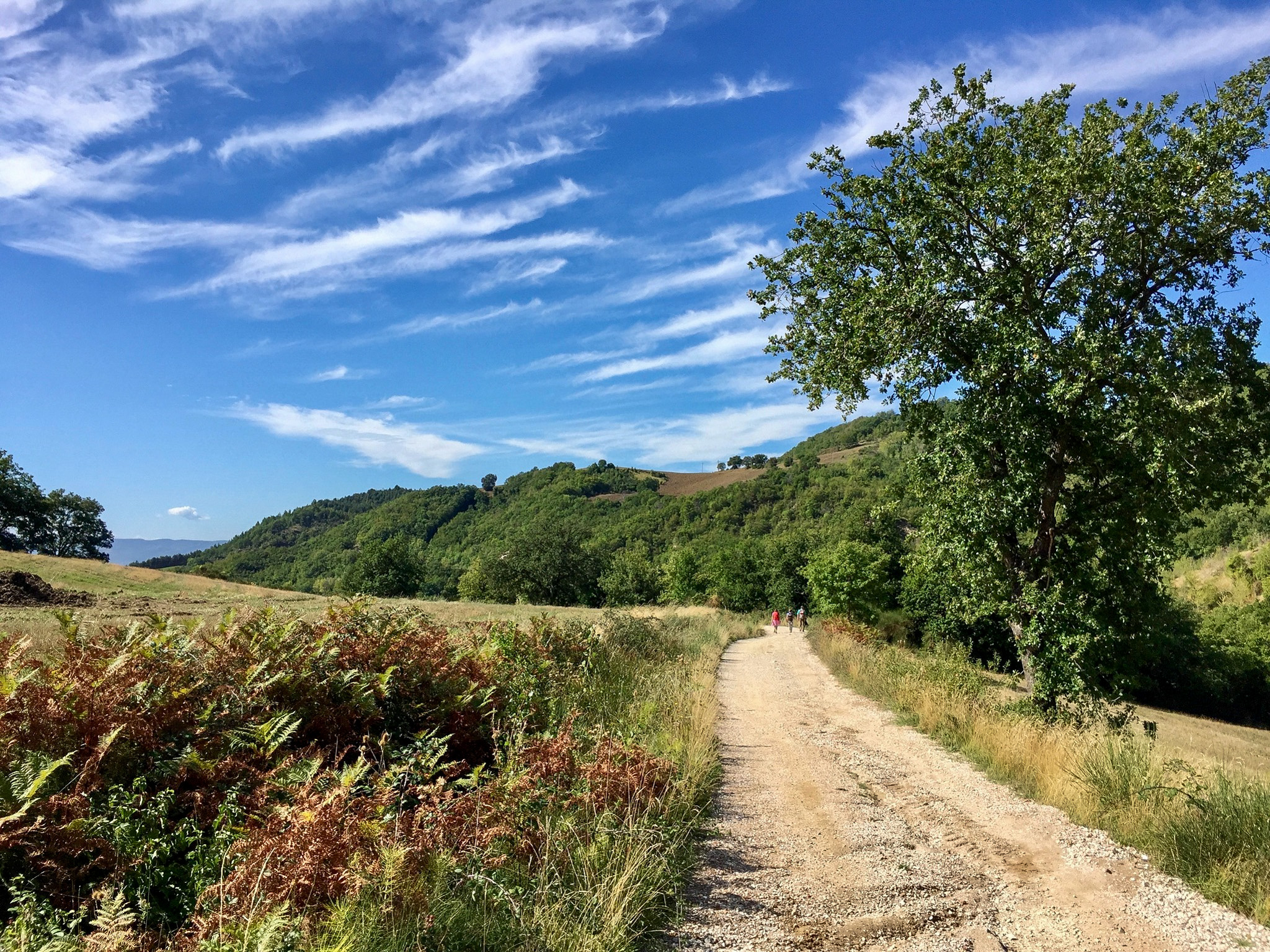
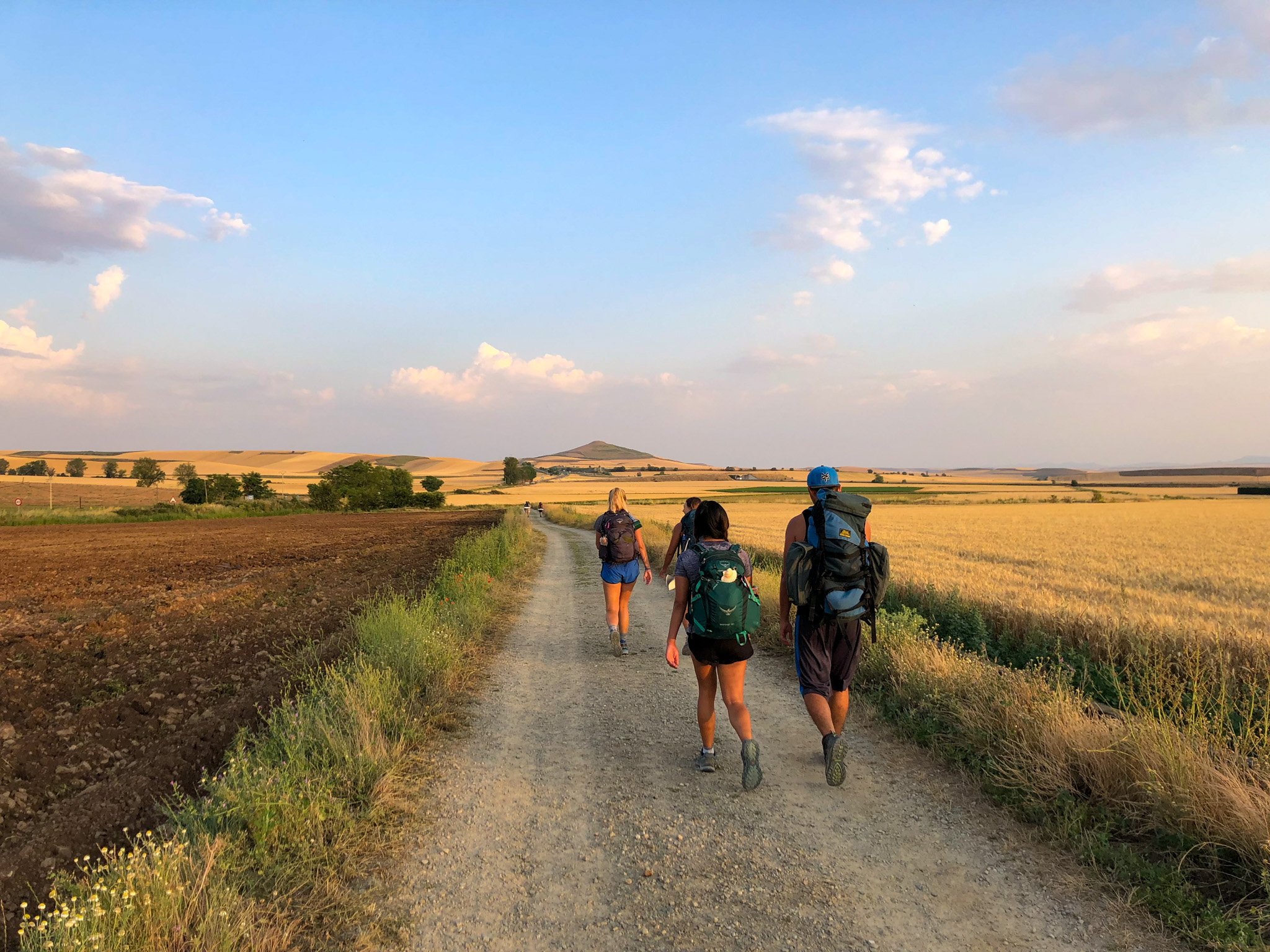
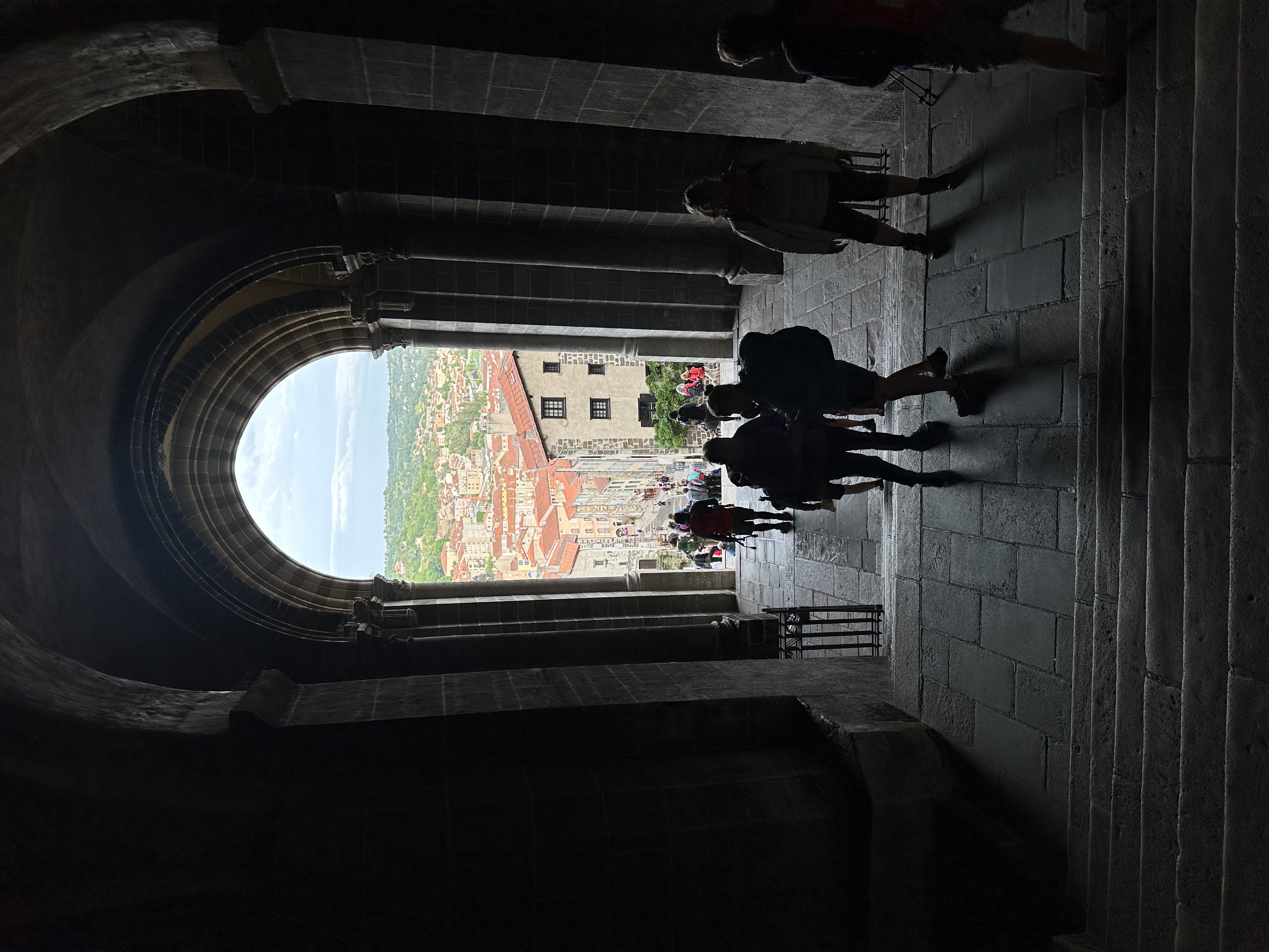
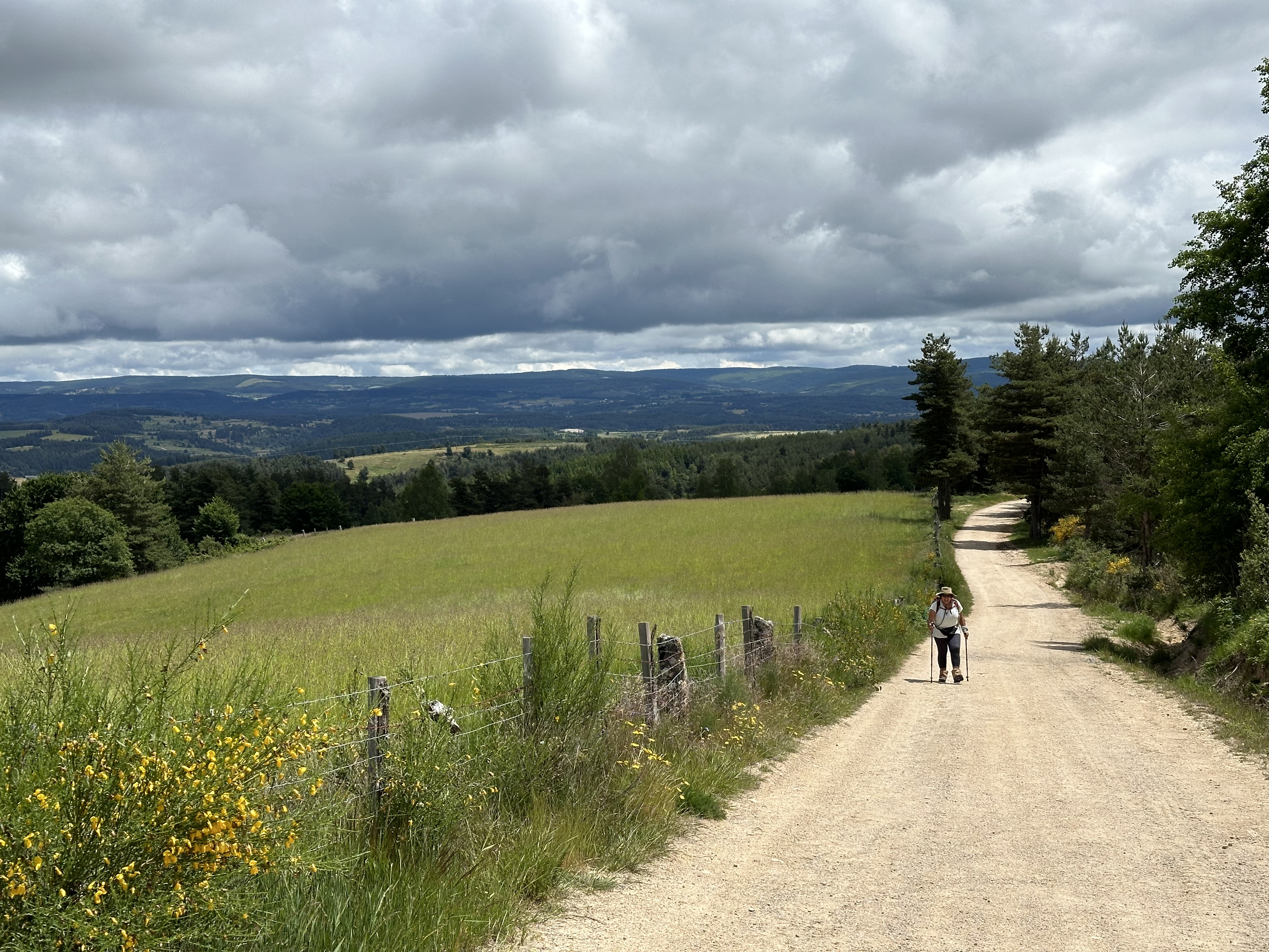
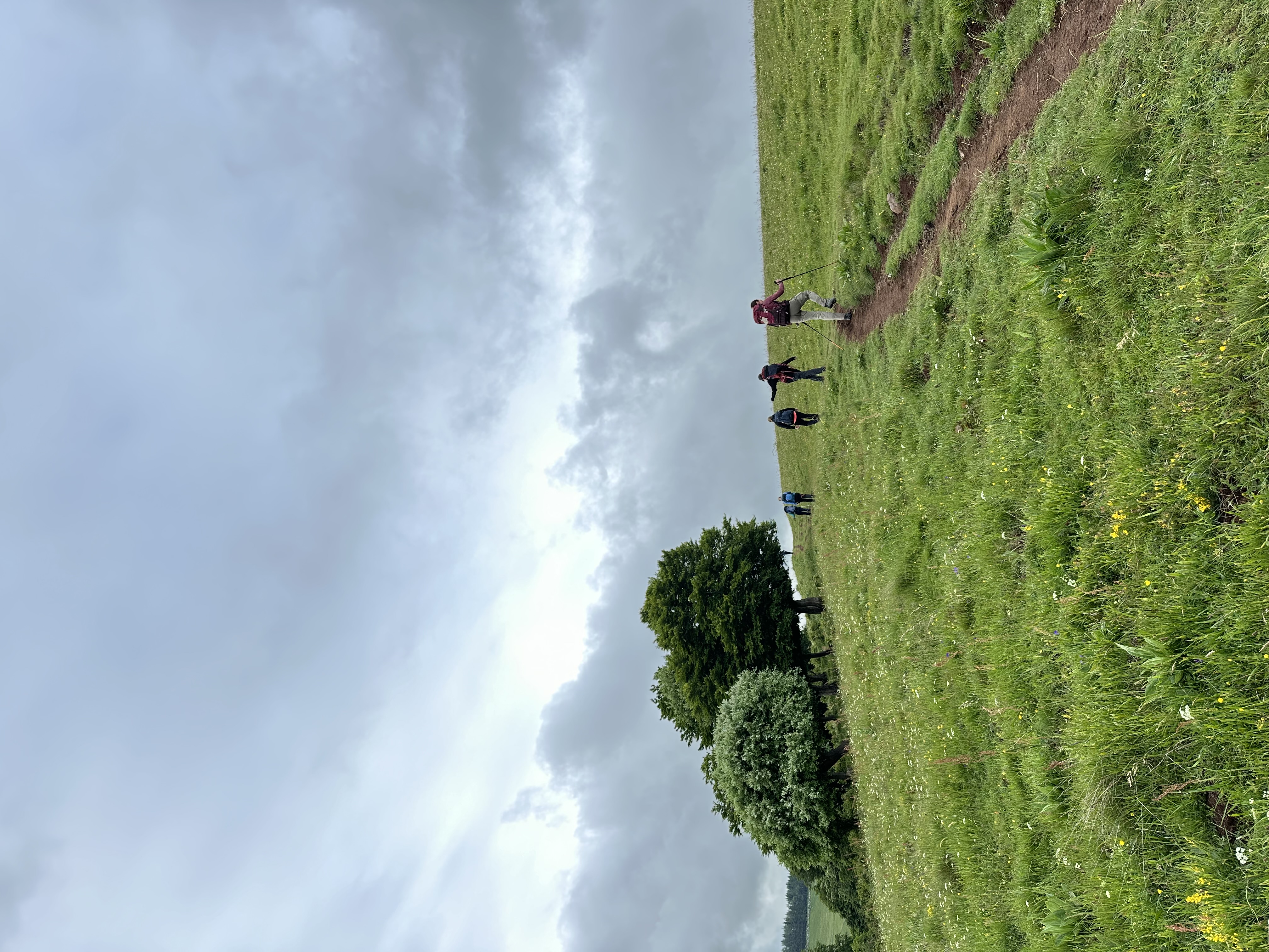
Our pilgrimage begins in Le Puy-en-Velay, where for centuries pilgrims have gathered beneath the volcanic peaks crowned by the Chapel of Saint-Michel d’Aiguilhe and the cathedral of Notre-Dame du Puy. From here the trail descends into the valley, quickly leading us into the green hills, deep ravines, and timeless villages of the Velay and Gévaudan regions.
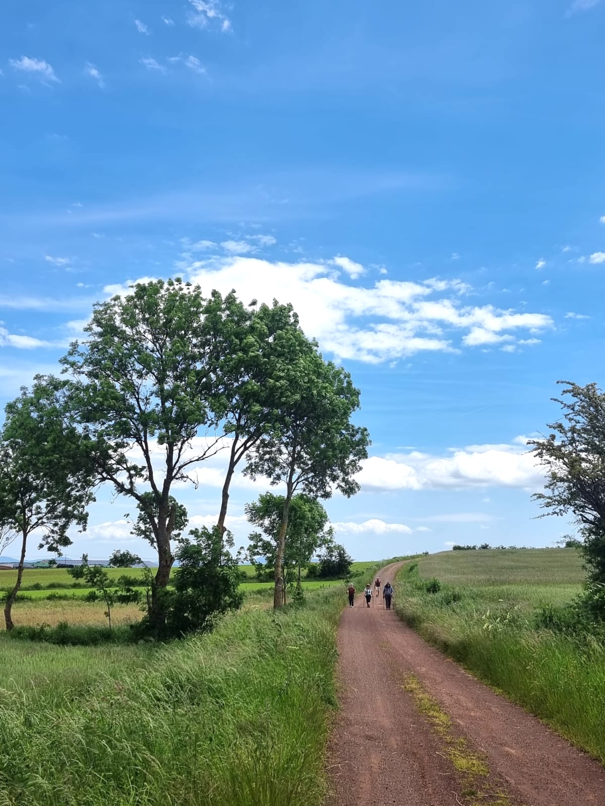
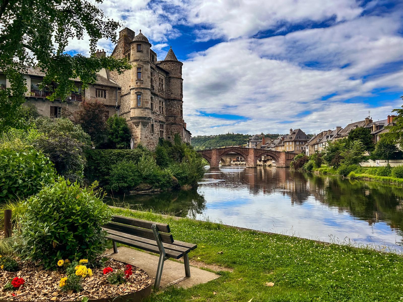
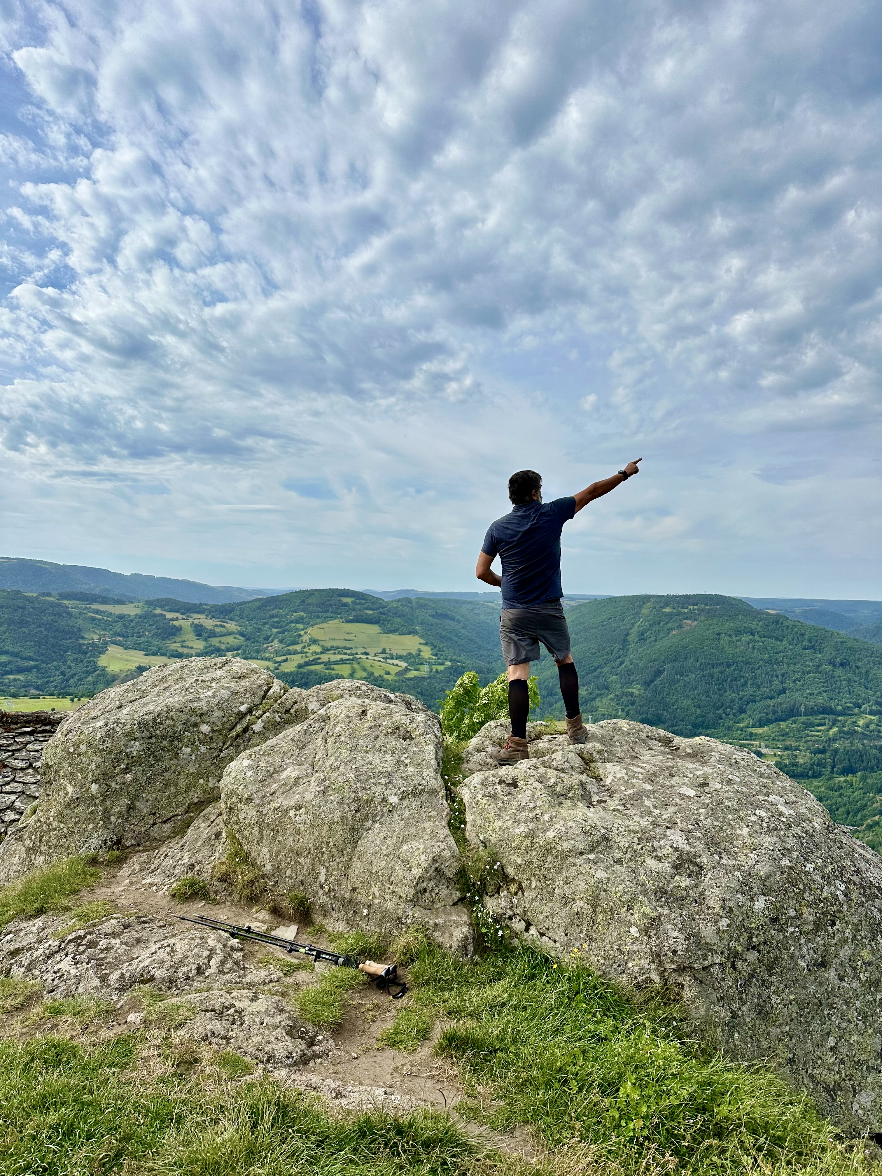
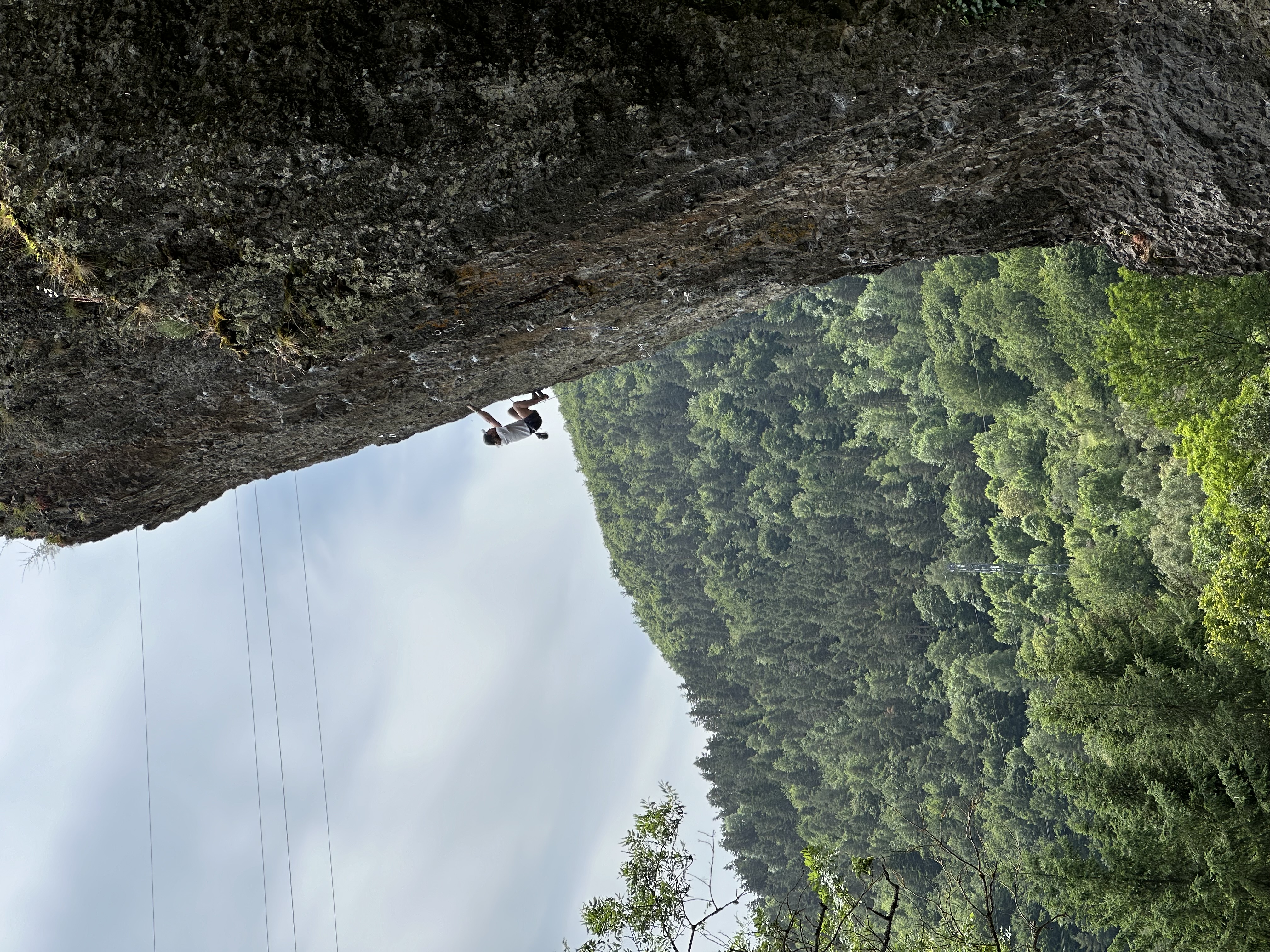
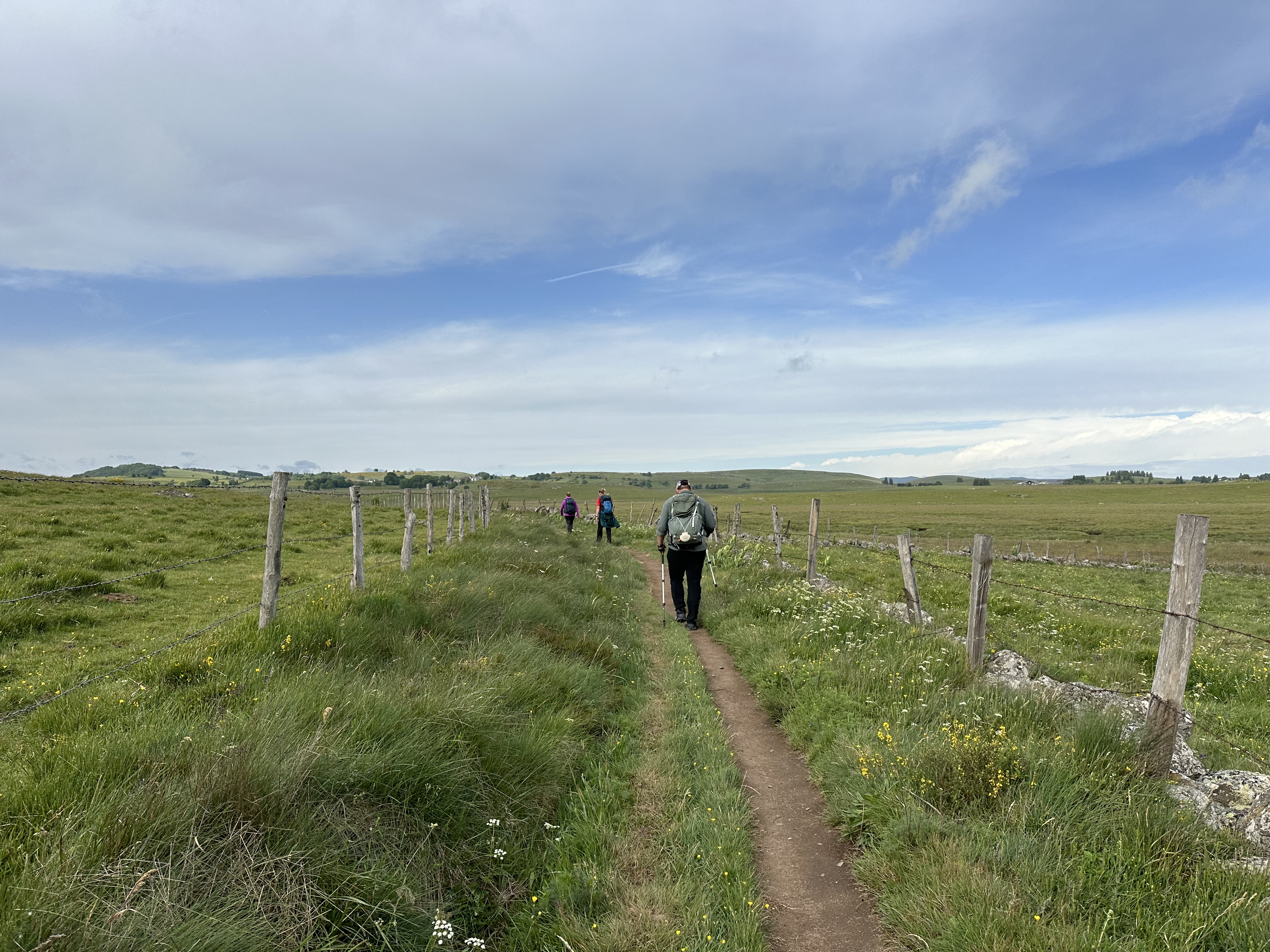
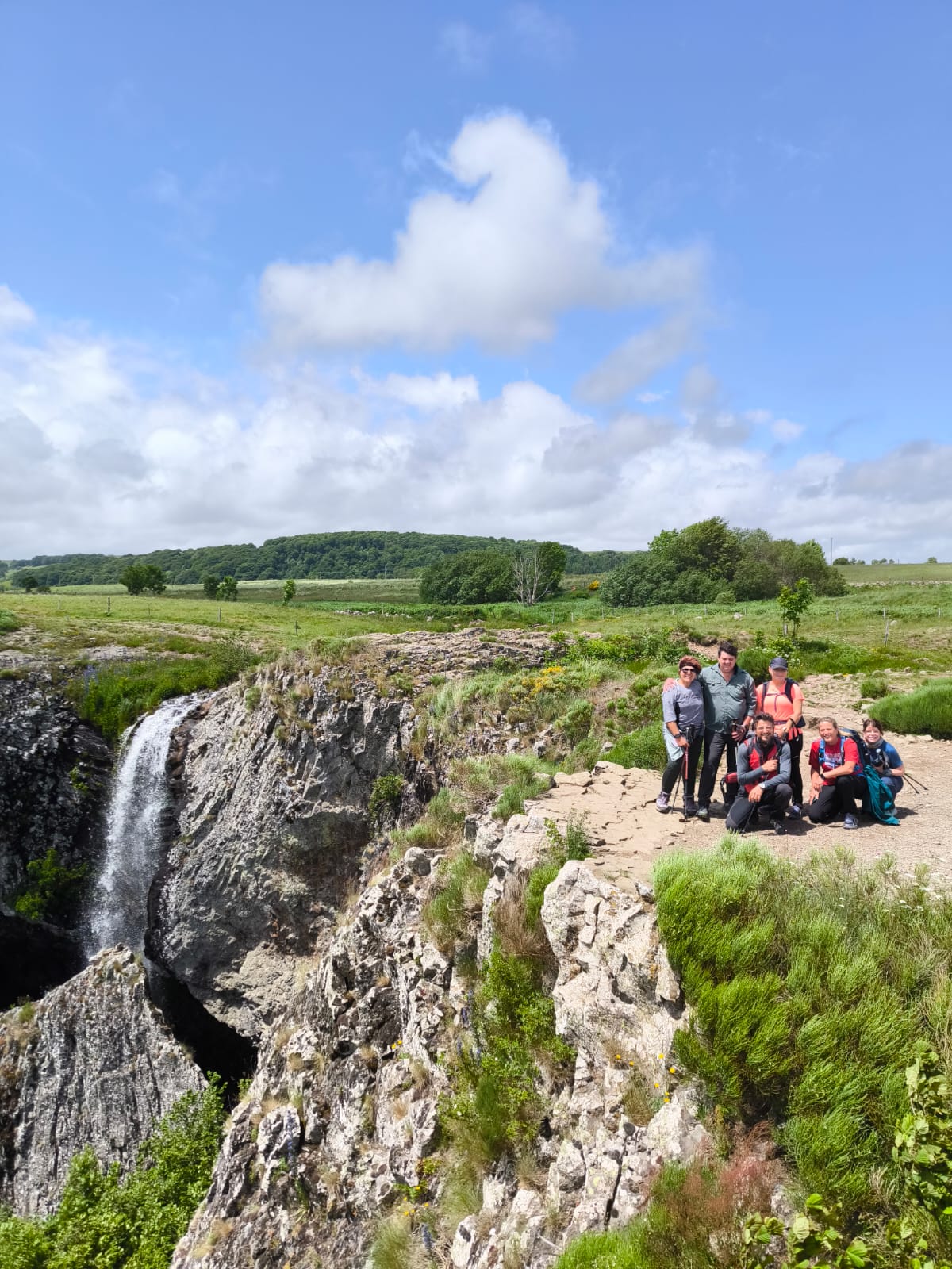
Each day of the walk offers its own treasures: Romanesque churches and chapels tucked into villages; sweeping upland plateaus dotted with cattle and stone farmhouses; the tumbling waters of the Cascades du Gévaudan and the celebrated Cascata delle Marmore; ancient transhumance paths lined with beech trees; and medieval bridges built to aid pilgrims on their way.
We’ll stay in welcoming inns and small hotels, savoring regional specialties such as fresh cheeses, lentils, and rustic breads. Along the way Beebe Bahrami will share insights into the cultural and spiritual heritage of the Chemin du Puy, drawing from her deep knowledge of European pilgrimage and her own published works on walking the Camino.
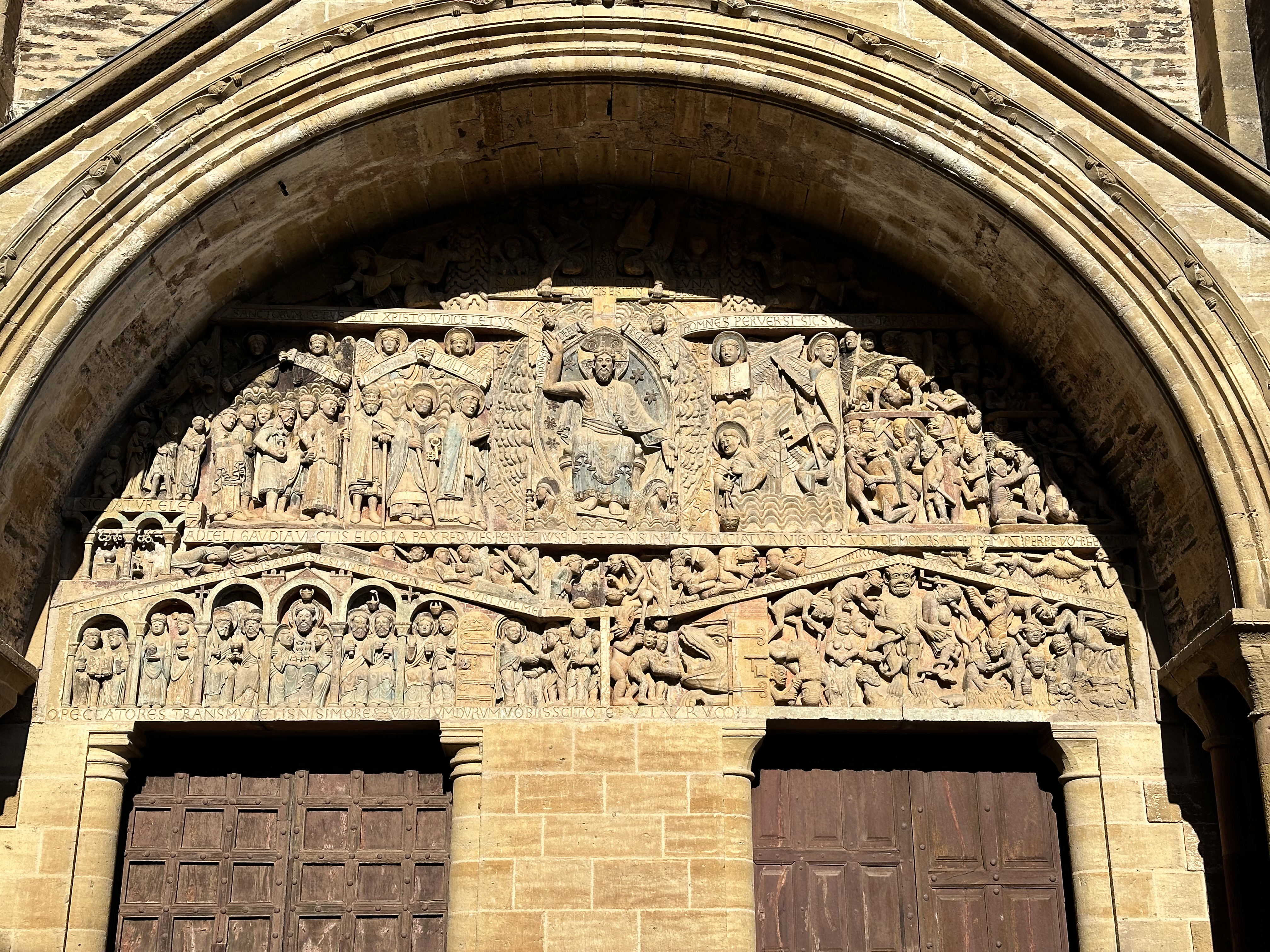
The walk culminates in Conques, one of the jewels of the entire Camino network. Here, the Abbey of Sainte-Foy rises above winding medieval streets, a masterpiece of Romanesque architecture and a place of pilgrimage for nearly a thousand years. Standing in Conques at journey’s end, we will have walked not just across a landscape but also through centuries of faith, story, and community.
With moderate daily distances, full logistical support, and time to absorb both beauty and meaning, this journey offers the perfect balance of challenge and inspiration. Come walk with us, and experience the Chemin du Puy as pilgrims have for generations.
Map of the route
Daily Itinerary

April 30, 2026 - Gather in Le Puy-en-Velay
April 30, 2026 - Gather in Le Puy-en-Velay
Description
Meet for orientation and dinner. Arrive early in the day to explore the city and its two lofty mountaintop shrines. Enjoy an informal meet-and-greet with other pilgrims at a local eatery. Overnight in Le Puy.
distance: 0 km
ascent: 0 m
descent: 0 m
% hard surfaces: 0
difficulty rating: 0
May 1, 2026 - Le Puy-En-Velay To Saint-Privat-D'Allier
May 1, 2026 - Le Puy-En-Velay To Saint-Privat-D'Allier
Description
Long and challenging stage with moderate elevation gain through gravel roads, mule tracks, and some stretches on asphalted roads. We start by descending into the Le Puy village from the beautiful cathedral, then follow the impeccable Compostela signage for about 7km. After that, we leave the main path and take secondary trails that not long ago were the true original route of the pilgrimage. We pass through villages including Bains with its lovely church, then climb up the wooded hill where we’ll stop for a picnic. Afterward, we descend to the ravine below the village and then stop in St Privat d’Allier. At the end of the walk there is a transfer to Saugues inn.
distance: 25.2 km
ascent: 641 m
descent: 472 m
% hard surfaces: 30%
difficulty rating: 7
May 2, 2026 - Saint-Privat D'Allier To Saugues
May 2, 2026 - Saint-Privat D'Allier To Saugues
Description
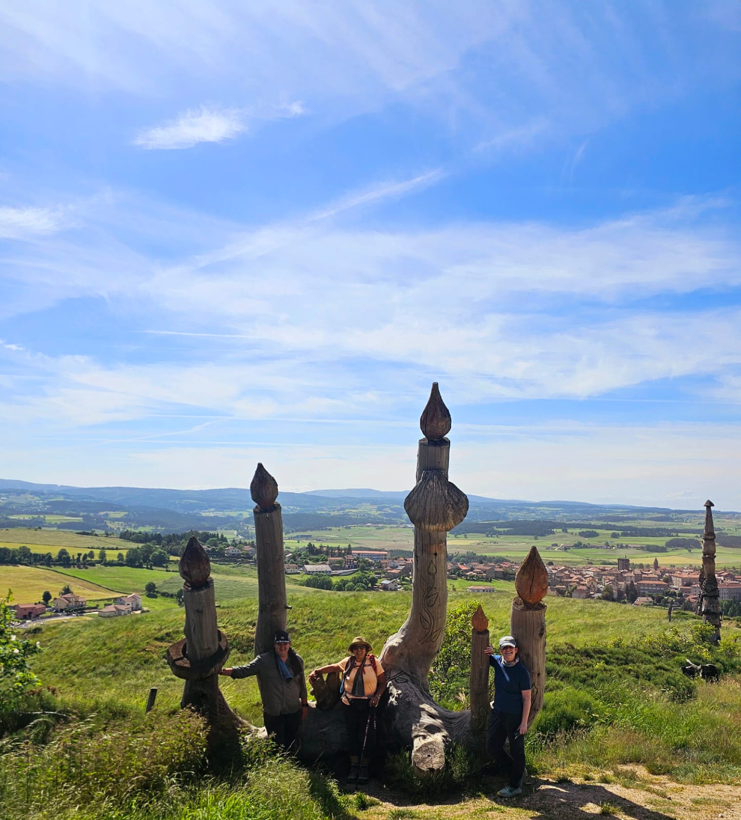
A spectacular and challenging day with a long ascent. We leave St Privat and in a few kilometers, we reach the iconic Chapel of St. James of Rochegude overlooking the Allier valley. We then descend through a trail that is occasionally steep into the valley floor. After a short up and down, we reach Monistrol d’Allier, where there’s a restaurant, café, and the availability of rafts for river descent and a small beach. From here begins the challenging 7 km ascent. We pass by the Chapel of Magdalene where you can get a stamp for your credential, and continue almost to the end of the climb where we can stop for a picnic. After walking 5 km with slight ups and downs mainly through pastures, we start descending for 4 km, passing by beautiful wooden sculptures, until we reach Saugues. Overnight in Saugues.
distance: 19.7 km
ascent: 639 m
descent: 545 m
% hard surfaces: 59%
difficulty rating: 7
May 3, 2026– Le Villeret D'Apcher To Domaine De La Sauvage To Saint-Alban Sur Limagnole
May 3, 2026– Le Villeret D'Apcher To Domaine De La Sauvage To Saint-Alban Sur Limagnole
Description
Today we start with a transfer to Le Villeret d’Apcher, this is stage mainly through minor roads and pastures, we’ll also pass by a dairy farm where you can stop for a cheese snack. Today, we’ll traverse the beautiful plateau of the Domaine de la Sauvage, an ancient farm and Templar stronghold on the Gevaudan plateau at 1300 meters. Surrounded by pastures, heather, and woods, these places are ideal for herds of cattle and occasionally sheep. We’ll stop for a snack, then gradually descend, changing regions and departments, leaving the Auvergne region and the Haute-Loire department for the Occitanie region and the Lozere department. We pass by the Chapel of St. Rocco and then descend towards the village of St Alban. Transfer to hotel in Peyre en Aubrac.
distance: 21.9 km
ascent: 383 m
descent: 548 m
% hard surfaces: 20%
difficulty rating: 7
May 4, 2026 – Saint-Alban Sur Limagnole To Peyre-En-Aubrac
May 4, 2026 – Saint-Alban Sur Limagnole To Peyre-En-Aubrac
Description
We return with a transfer to the town of St Alban sur Limagnole where you can find supermarkets and shops for a picnic. We descend from the village to the plains then we cross the hills passing some coniferous forests and pastures until we reach the village of Les Estrets by the Truyere river. We then climb up to 1100 meters before descending for 2 km to the village of Peyre en Aubrac where our hotel is.
distance: 16.5 km
ascent: 395 m
descent: 295 m
% hard surfaces: 33%
difficulty rating: 7
May 5, 2026 – Cafè Quattre Chemins To Nasbinals
May 5, 2026 – Cafè Quattre Chemins To Nasbinals
Description
We start with a transfer to Le 4 chemins en Aubrac. An easy walk with a very gradual descent and ascent until we reach the plateau of Aubrac and the bogland of Rimeize with its unique landscape. the Pont de la Peyrade is one of the highlights together with the boulders and the Aubrac cattles. The borough of Nasbinals features a beautiful cathedral. Stamps at the tourist office. Overnight in Nasbinals
distance: 15.4 km
ascent: 246 m
descent: 240 m
% hard surfaces: 41%
difficulty rating: 6
May 6, 2026 – Nasbinals To Saint-Chely-D'Aubrac
May 6, 2026 – Nasbinals To Saint-Chely-D'Aubrac
Description
Easy and moderate walk, today we leave the plateau of the Aubrac and the Lozere departement and we enter the Aveyron department. Most historically according to the report of the pilgrims we leave the perilous territory of the Aubrac where you can meet wolves and snow for the more gentle countryside of the River Lot. We leave Nasbinals and after half a km we take a minor road branching right and climbing the hill. At 3.4 we leave the main road taking a path for only walkers (no MTB, no horses, no donkey, no motorised vehicles) as well explained on the post this is a path on private land and conceded to pilgrims by the owners at the condition of not disturbing cattle grazing. At 7.3 we reach to top of the very gradual ascent, beautiful views of the grass lands so far, from here on there will be more woodlands. We descend to the asphalt road and we leave the only-for-walkers section, at 8.1 km we enter the village of Aubrac with is imposing castle of the 12 c. where you will find some open facilities for sustenance. There are some beautiful sections of the path known as draille (piste) running parallel to the famous enclosured grasslands, once used on the transhumance that are lined by beech trees, hazels and other trees. We gradually descend, we reach the small hamlet of Belvezet at 13.2km then we descend to the village of St Chely d’Aubrac, the track ends to the hotel. We had lunch under the trees canopy at roughly 10 km.
distance: 16.3 km
ascent: 237 m
descent: 595 m
% hard surfaces: 16%
difficulty rating: 7

May 7, 2026 – Saint-Chely D'Aubrac To Espalion
May 7, 2026 – Saint-Chely D'Aubrac To Espalion
Description
Moderately difficult walk and rather long. We leave St Chely passing through the ancient pilgrims bridge then we commence a gradual ascent of 1 km then we more or less stay level following a path under the tree canopy for 2km. We merge on a bigger road at 4 km of coast grasslands. We enter other woodlands as we get closer to the waterline, at 10.9 we pass the bridge with the creek Ruisseau de Cancels, then soon after we commence an ascent of 1 km that will take us to LaRozere where we can also find a water faucet. We continue the descent and we reach the village of St Come d’Olt boasting the beautiful cathedral dedicated to Cosim and Damian the 2 medic saints and an interesting medieval castle next to that. We continue the walk crossing the bridge on the river and here we have 2 options to reach Espalion: the first one follows the river, initially on the same path shared with the other option then following true tarmac road next to the river, the second one (now the official one) follows a path the goes away from the river with a 2 km climb followed by a second shorter one that takes to a volcanic crater overlooking the valley and now also the site of the statue of the Virgin of the Vermus, then from there we descend the final 3 km to get to Espalion with a beautiful arrival from the path following the river. The track takes us to our inn. We had lunch at the bridge at 10.9 and a long stop at St Comes-d’Olt.
distance: 24.1 km
ascent: 448 m
descent: 910 m
% hard surfaces: 33%
difficulty rating: 8

May 8, 2026– Espalion To Estaing
May 8, 2026– Espalion To Estaing
Description
We leave Espalion following the river path after few km we merge on an asphalt road and get to the beautiful church of St Pierre de Bessuejouls where we can admire its architecture and the elaborated capitals. Right after the church we pass the quaint village of Armagnac where we may decide to stop for a coffee (here it is fine also to bring your picnic) . After the village we start the only climb all under the trees’ canopy through the red-grey rocks We reach the top and exit the woodlands doing a gradual descent to the Lot river valley, we pass the Castle of Beauregard, at 9.7 we may opt for a stop at the Chemin de l’Oustalou bar then soon after the small and picturesque hamlet of Verrieres with its pilgrims bridge. Once past the last village we opted for a path that stays as close as possible to the main river (not yet seen) and then merge on the road to enter Estaing. At the end of the walk we have a transfer to the hotel in Conques.
distance: 12.4 km
ascent: 233 m
descent: 253 m
% hard surfaces: 61%
difficulty rating: 6
May 9, 2026 - Esperyac To Conques
May 9, 2026 - Esperyac To Conques
Description
Easy walk. We leave the town and we commence an uphill never too steep, after 1km (from 8.7) we reach the Walnut and hazelnut oil mill Moulin Mejane where we can opt for a tasting, nearly at 3 km we get to Senergues a small village with an interesting church and medieval tower ( private but visitable at a cost) we carry on uphill and passing through a woodland with chestnut bordering with some grassland, at 4 km we pass a picnic site parallel to the d42 road for a while. At 8.5 km we leave the tracks in or parallel to d42 taking the route de St Marcel and eventually a path that leads down to the village of Conques and its stunning St Foy Abbey.
distance: 12.3 km
ascent: 281 m
descent: 364 m
% hard surfaces: 53%
difficulty rating: 6

May 10, 2026 - Depart From Conques
May 10, 2026 - Depart From Conques
Description
After breakfast and goodbyes to your walking mates, we depart Conques for further adventures, our minds full of memories of beautiful scenery and friendships forged over many miles.
distance: 0 km
ascent: 0 m
descent: 0 m
% hard surfaces: 0
difficulty rating: 0
What we provide
- Anthropologist/author Beebe Bahrami is your tour host
- Expert European hiking guide
- All (10) overnight accommodations
- Daily baggage service (40lbs/18kg max)
- E-guidebook from Cicerone Press
- Official pilgrim credential
- Modest overnights in the Podiensis system of hiking gîtes as well as occasional small hotels
What you provide
- Transportation to and from the journey
- Lunches and snacks each day
- Gratuity for your guide and driver (€5-10 each per day)
- Adequate gear and fitness to walk 15-25km each day